


West Stromberg Precinct, Polk County, Nebraska
About
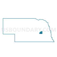
Outline

Summary
| Unique Area Identifier | 613739 |
| Name | West Stromberg Precinct |
| County | Polk County |
| State | Nebraska |
| Area (square miles) | 39.92 |
| Land Area (square miles) | 39.85 |
| Water Area (square miles) | 0.07 |
| % of Land Area | 99.82 |
| % of Water Area | 0.18 |
| Latitude of the Internal Point | 41.09510370 |
| Longtitude of the Internal Point | -97.63955700 |
Maps


Graphs
Select a template below for downloading or customizing gragh for West Stromberg Precinct, Polk County, Nebraska


Neighbors
Neighoring Voting District (by Name) Neighboring Voting District on the Map
- East Stromberg Precinct, Polk County, NE
- South Osceola Precinct, Polk County, NE
- Thayer-Morton Precinct, York County, NE
- West Pleasant Home Precinct, Polk County, NE
Top 10 Neighboring County Subdivision (by Population) Neighboring County Subdivision on the Map
- South Osceola precinct, Polk County, NE (1,090)
- East Stromsburg precinct, Polk County, NE (774)
- West Stromsburg precinct, Polk County, NE (750)
- West Pleasant Home precinct, Polk County, NE (604)
- Morton precinct, York County, NE (389)
- Thayer precinct, York County, NE (221)